
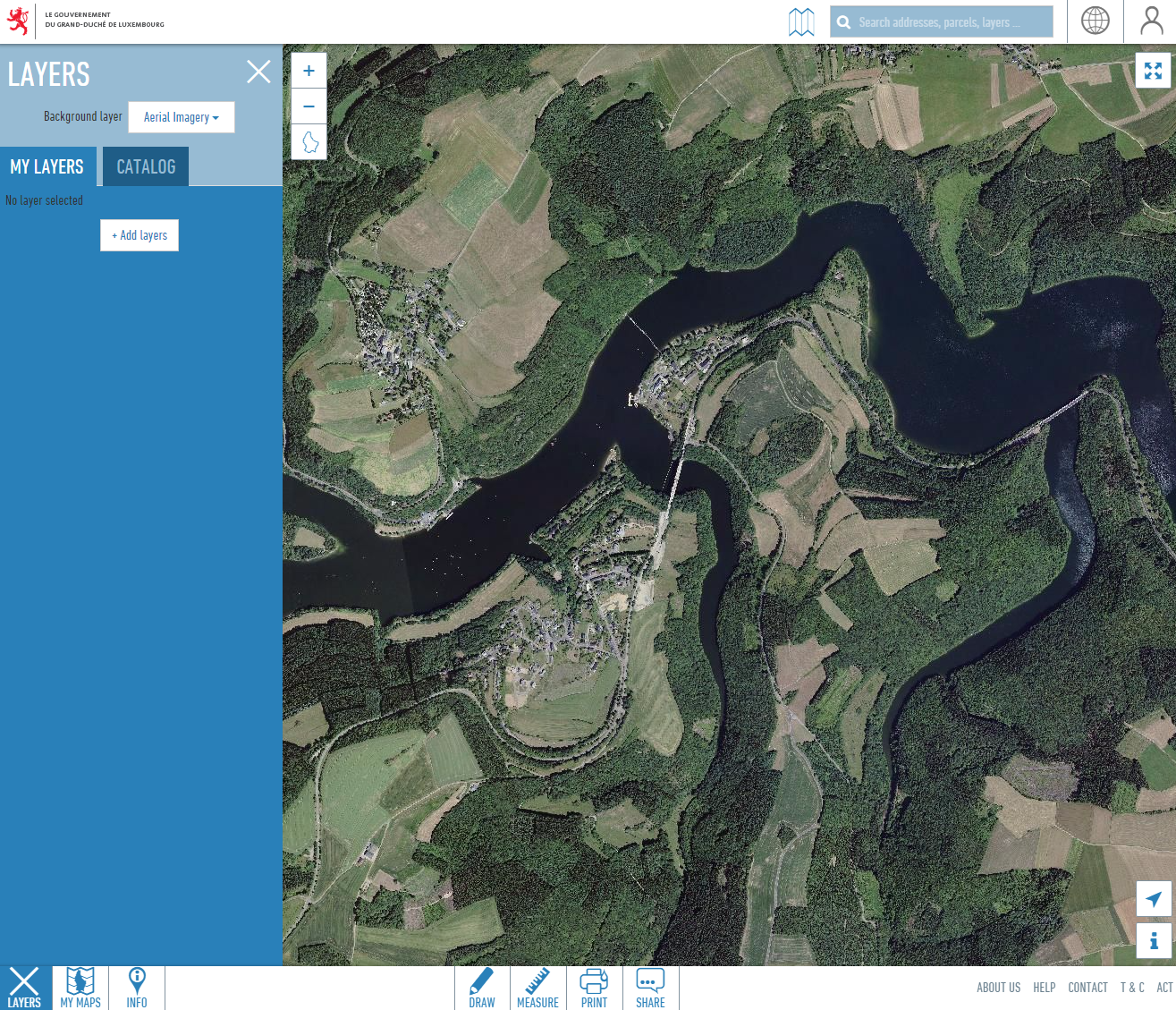
The easiest way to watch the official orthophoto of the Grand-Duchy of Luxemburg, is to use the general public map viewer of the geoportal.
You can use the search field above the map window to center the map on a specific place. For example, you can type part of an address in the field to see the corresponding search results in the drop-down list. Click on the address you are searching for, and the map centers on the address point.
Attention : in case you intended to watch the cadastral parcels on top of the orthophoto background, be aware of the fact that the map viewer automatically switches of the orthophoto when you activate the parcel layer. As these two datasets have a different level of geometric precision, and as we want to prevent wrong interpretations, this combination is not possible.
If you are interested in purchasing one or more tiles of the orthophoto database, please use the online-shop of the geoportal.